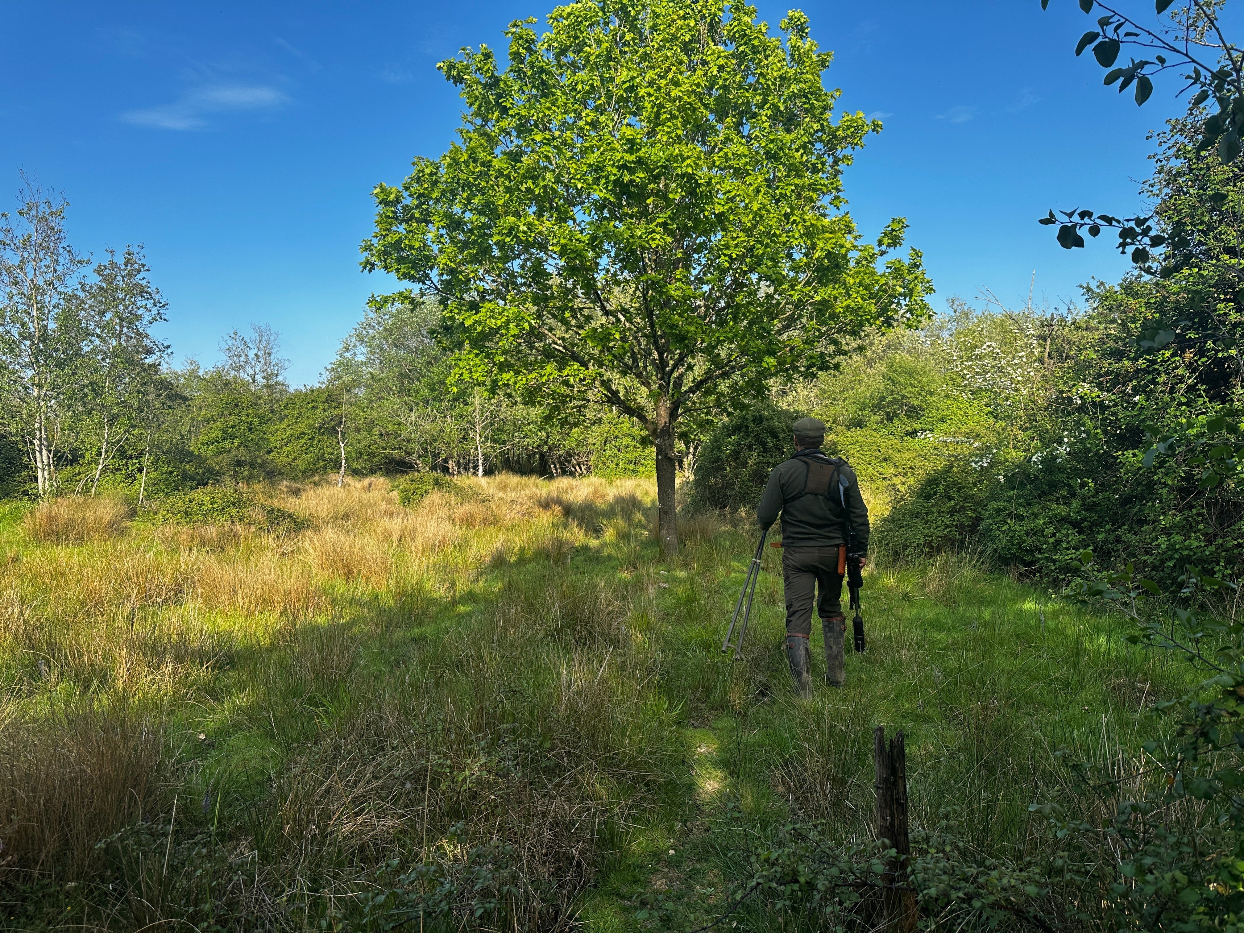
At Wildscape Deer Management, we are committed to leveraging the latest technologies to enhance the effectiveness and efficiency of our services. One of the most impactful tools we've incorporated into our operations is drone technology. This advanced approach allows us to conduct thorough deer management assessments and make precise target allocations. By utilising drones, we not only speed up our operations but also gain invaluable insights into deer movement and their environmental impact from a new, comprehensive perspective.
Enhancing Operational Speed and Efficiency
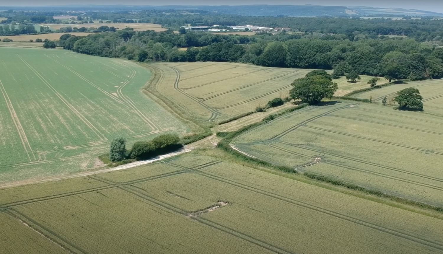
Deploying drones for our surveys significantly reduces the time required to assess large areas compared to traditional ground-based methods. Today, we had the drone up and the benefits were clear to see. With high-resolution aerial imagery, we can quickly identify key areas of interest, allowing us to focus our efforts more efficiently. This operational speed is crucial when managing extensive landscapes where timely decisions are necessary to address deer populations effectively. The ability to cover more ground in less time ensures that our interventions are both prompt and precise.
In addition to speed, drones enhance our ability to access hard-to-reach areas. Traditional surveys can be hampered by difficult terrain or dense vegetation, but drones can easily navigate these obstacles. This capability ensures comprehensive coverage of the survey area, leading to more accurate data collection and better-informed management strategies.
Comprehensive Deer Movement Analysis
Drones offer a unique vantage point, providing us with an unparalleled view of deer movement patterns across various terrains. This aerial perspective allows us to monitor how deer utilise different parts of the landscape, identifying their preferred routes, feeding areas, and resting spots. Such detailed information is invaluable for developing targeted management plans that align with the natural behaviour of deer populations. Understanding these patterns helps us predict deer movements and implement measures to manage their impact more effectively.
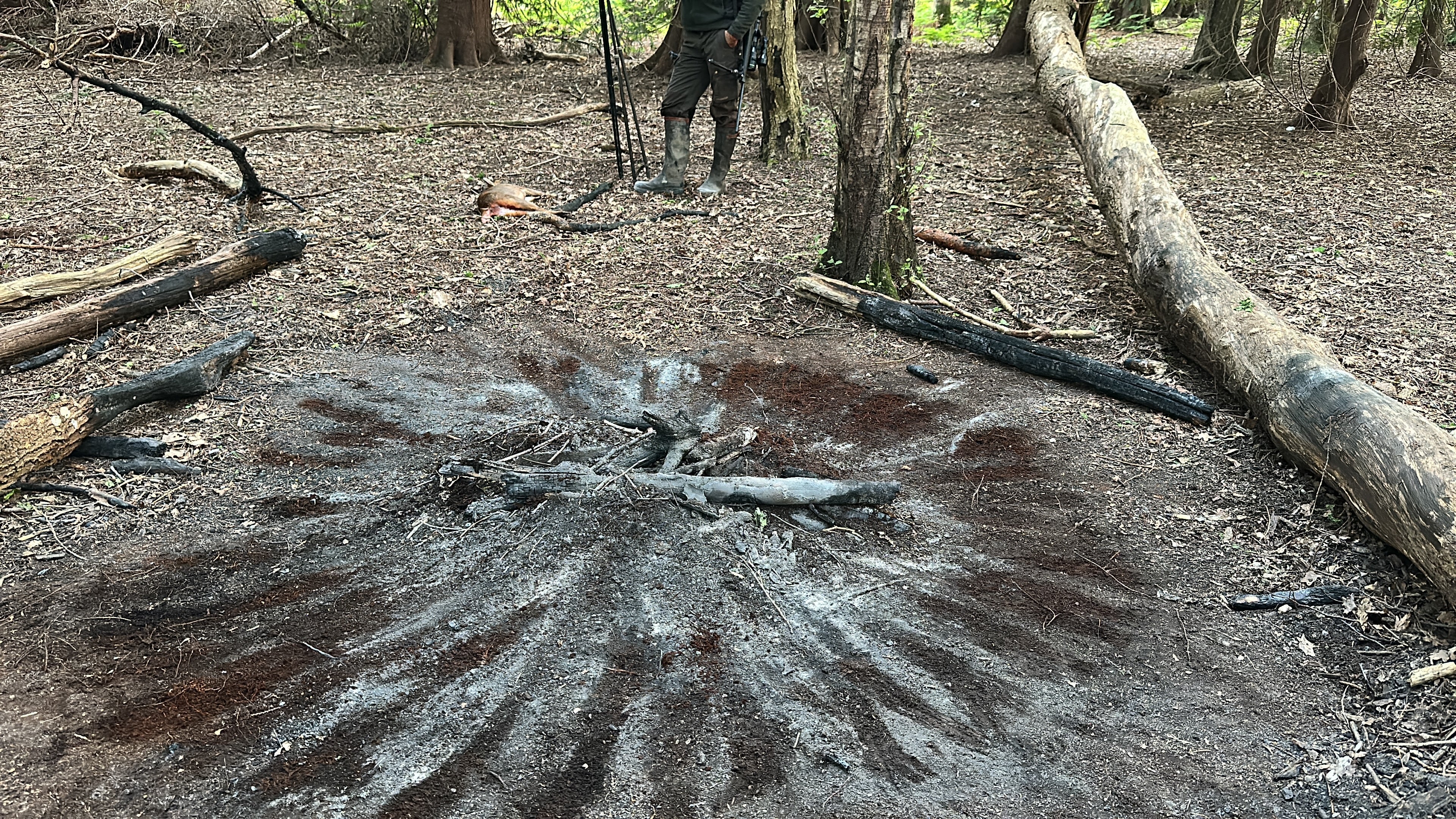
During today's drone flight, for instance, we observed minimal signs of fallow deer impact. However, the drone footage did reveal evidence of solitary animals. This level of detail is challenging to achieve through ground surveys alone, highlighting the importance of drones in providing a comprehensive picture of deer activity. This insight allows us to adjust our management strategies dynamically, ensuring they are responsive to the current conditions on the ground.
Assessing Environmental Impact
One of the significant advantages of using drones is their ability to capture detailed data on the environmental impact of deer. High-resolution images allow us to assess vegetation health, identify overgrazed areas, and detect early signs of habitat degradation. This information is critical for making informed decisions about where to focus our management efforts to ensure the long-term sustainability of the habitat. By monitoring these environmental indicators, we can implement proactive measures to mitigate damage and promote habitat recovery.
Moreover, drones facilitate repeated surveys over time, enabling us to track changes in the environment and assess the effectiveness of our management interventions. This ongoing monitoring is essential for adaptive management, allowing us to refine our strategies based on real-time data and achieve better conservation outcomes.
Supporting Grant Applications and Reporting
The detailed data collected through drone surveys is also instrumental in supporting applications for deer management grants. High-quality imagery and precise data provide compelling evidence to demonstrate the need for funding and the effectiveness of our management strategies. This evidence-based approach strengthens our proposals and increases the likelihood of securing necessary financial support. Drones help us create a robust case for grant applications, showcasing the tangible benefits of our management efforts.
In addition to grant applications, the data from drone surveys enhances our reporting capabilities. We can provide detailed, visual reports to stakeholders, illustrating the impact of our interventions and the current state of the environment. This transparency builds trust and supports ongoing collaboration with partners and funding bodies.
Ensuring Safety and Compliance
All our drone operations are conducted by certified operators registered with the Civil Aviation Authority (CAA), ensuring that we adhere to the highest standards of safety and legal compliance. This professionalism ensures minimal disturbance to wildlife and maximises the effectiveness of our surveys. Safety is paramount in our operations, and using certified operators guarantees that our drone flights are conducted responsibly and ethically.
Our commitment to compliance with regulatory standards reassures our clients that all data collection is performed legally and ethically. This adherence to regulations not only protects wildlife but also maintains the integrity of our operations and the credibility of our findings.
Future Prospects
As we continue to integrate drone technology into our deer management practices, we anticipate further improvements in our ability to manage deer populations effectively. The combination of operational speed, detailed environmental impact assessments, and enhanced deer movement analysis positions Wildscape Deer Management at the forefront of modern, ethical wildlife management. We are excited about the future prospects of drone technology and are committed to continuously innovating to provide the best possible service to our clients.
Get in Touch
If you are interested in learning more about how our drone-assisted assessments can benefit your deer management efforts, please contact us today. We are ready to discuss your needs and demonstrate how our advanced techniques can help achieve your conservation and management goals. Our team is dedicated to providing tailored solutions that meet the unique needs of each client, leveraging the latest technology to deliver exceptional results.